After Manny Yekutiel’s Campaign Implodes, Who Holds S.F. Leaders Accountable?
After fumbling accusations of sexual assault, S.F. politicians deserve a reckoning.


After fumbling accusations of sexual assault, S.F. politicians deserve a reckoning.

This week we've got polyamorous condors, cardboard costumes, sapphic vampires, and more.

Living in San Francisco means being a guinea pig for the tech industry — but I draw the line at my second-grader.

Rainfall inches are easy to quantify and think about, but what happens after it lands on us?

Lately, reading weather headlines feels a lot like browsing the kaiju, or giant monster battle, section of a video store. You get the sense that the oncoming “super” El Niño is some kind of juggernaut: it’s “supercharging” and “intensifying,” becoming a “monster” or “godzilla.” It’s a phenomenon I’ve heard about off and on since I was a kid: From 1991 to 1994, when I was in elementary school, we had three El Niños happen in rapid succession and it was all you’d hear about. Though, for my part, all I took away from that was the notion that it had something to do with Christmas.
Climate experts, like those at the National Oceanic and Atmospheric Administration, reject the “super” and “godzilla” terminology in favor of more measured adjectives: weak, moderate, strong, and very strong. In reality, El Niño is the warming phase of a naturally occurring climate cycle of oceanic temperature changes. Right now, as global temperatures continue to rise due to climate change, a powerful El Niño can make record-breaking temperatures peak even more.
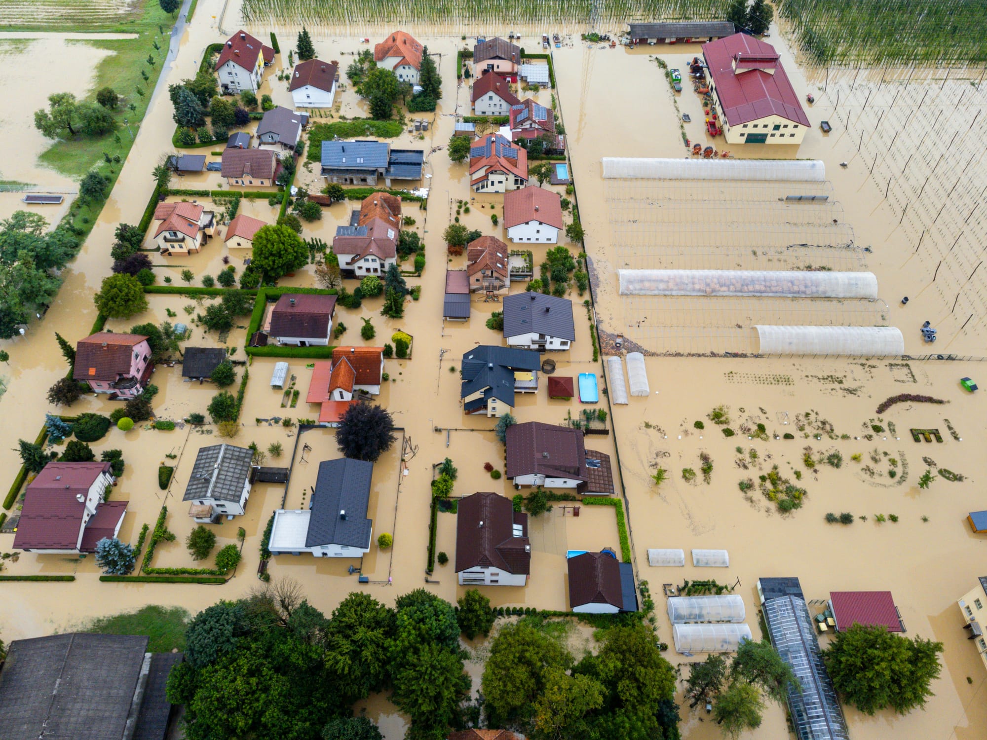
According to the World Meteorological Organization, rising ocean temperatures can have devastating impacts, including extreme precipitation and flooding, ice melts and sea level rise, droughts, and more powerful storms. Along California’s coast, for example, marine heatwaves have forced shellfish fishery closures and disrupted commercial fishing. All of these things put stress on human infrastructure: the homes we live in, the bridges we traverse, and the agricultural land we rely upon.
What’s hard about the general casting of El Niño as an approaching beast, charging toward us with smoke coming from its nostrils, is that it makes us feel powerless. But meteorology and science communicator Gerry Diaz wants to push back on that notion — and on the idea that this is only about weather.
“I keep coming back to the idea that El Niño isn’t really a rainfall story, it’s an impact story,” they wrote to me when I first reached out wanting to get their take on what’s happening. Rainfall inches are easy to quantify and think about, they said, but what happens after it lands on us?
Diaz, who also previously worked for emergency management in San Francisco (and at the San Francisco Chronicle as the newsroom meteorologist), thinks a lot about how extreme weather can screw up a city.
“When you have a disruptor in the climate pattern, suddenly everything can fall off the rails. That’s the bigger takeaway,” they say. That means there’s action to take, that communities and utility companies could prepare in advance. Importantly, that also means we can start thinking about who’s responsible for coordinating such efforts and whom to hold accountable when preparation falls short.
One example is an often cited villain: PG&E, which has been repeatedly called out for failing to maintain its aging infrastructure – including during this past winter’s Great San Francisco Blackout – resulting in catastrophic and costly wildfires and outages.
An older and well-known example was Hurricane Katrina, the 2005 storm that decimated New Orleans. “A lot of that tragedy really didn't come so much from just the storm strength, but also the tragedy that came from failures in planning, communication, infrastructure, you know, really the ability to get resources to people that actually needed them most,” says Diaz.
Regardless of the weather, some questions that cities should be asking themselves include: Are we equipped to get information to every resident in a timely way? Do first responders know how to reach the most vulnerable people in the community? Can transit keep moving? Are departments coordinating efficiently?
“When you have a disruptor in the climate pattern, suddenly everything can fall off the rails.”
“If you have a bad storm that hits, but the city is ready and has that resilience factor, then everyone gets out of it in one piece,” Diaz says.
But many emergency management departments, including those in the Bay Area, have been hobbled by tighter budgets. In San Francisco, the latest budget for the Department of Emergency Management, which handles 9-1-1 dispatches, public alerts, and cross-departmental coordination, is $47.6 million lower than it was last year. The bulk of that loss, about $38.2 million, is made up of expiring grants from Homeland Security.
Further complicating what we can anticipate about El Niño is the fact that, while historical weather records can give us clues, modern-day California is so different from the California of the even recent past.
“We have millions of more residents in 2026 than the California that existed, even 60 years ago, heck, even 20 years ago,” says Diaz. Population changes create different housing pressure and infrastructure challenges, which are then exacerbated by shifts in the weather.
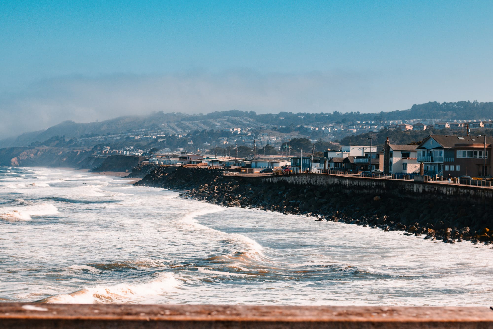
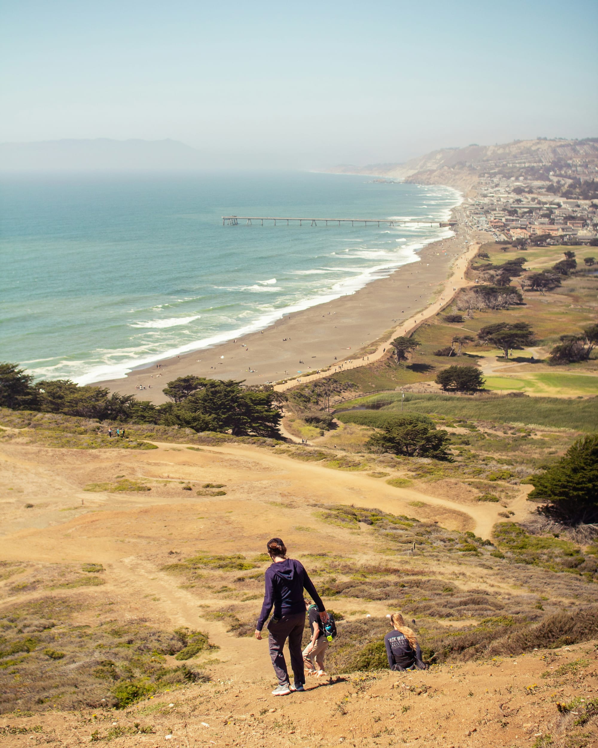
Views of Pacifica, Calif., which is battling coastal erosion as sea levels rise. (L: Ben Ali via Unsplash; R: Albert Hu via Unsplash)
In Pacifica, coastal erosion and changes to the sea level have caused seaside structures to deteriorate at a rapid pace. In June, the Pacifica City Council moved quickly to approve the demolition of a cafe located on the city’s iconic public pier, which has been a beloved recreation site for more than half a century. 60 years ago, the population was around 21,000. Now, it’s about 37,000. Today, that pier is crumbling into the ocean, and the city continues to be roiled by a debate over whether to rebuild seaside structures or pull everything further inland.
As Diaz explains, every climate headline tells two stories: there will be one about the inches of rainfall we’re getting, and another about how it interacts with the human world it’ll land on.
“The human element — the human geography element — is something that needs to be added to the conversation when we talk about that physical science, those storms, and the impacts that we’re seeing,” says Diaz. “While the atmosphere is producing a very familiar kind of El Niño pattern, it's going to be interacting with a very different California.”